- Collected
- Article
Maps To The Past
The importance of getting your cartographic detail right

- 6 May, 2019
- Andrew Martin
I spent a day walking around Leeds recently, armed with a map of the city in 1906, the nearest I could get to 1920, the target date of the historical novel I was researching. This being the North (ie friendly) three people asked if I was lost and could they help. But if I was lost, it was in the course of time travel, which they wouldn’t understand. Seeing that I was in possession of a map, one man came up and asked me directions, and it was embarrassing to have to reply that the map I held was over a hundred years out of date.
I have written fifteen novels, most of them historical. I do more research than the advances justify but I take a few shortcuts, mainly in the use of old maps. To understand the history of a place, I will study an old map before proceeding to a history book, and sometimes – I admit – I don’t get around to the history book.
My first historical novel was set mainly around Waterloo station in 1901. An Edwardian street map of the area revealed a big ice rink immediately south of the station, with little circles alongside it, representing chimneys. This kindled a scene in my mind’s eye: the ice rink fuming away on a winter’s evening (because presumably ice-making, like everything else at the time, generated a lot of steam and smoke); a crowd of youngish people queuing up outside; trams rattling past on the road and trains rumbling overhead on viaducts — because the map was criss-crossed with railway viaducts (which survive) and tramlines, which don’t. This detail of the ice rink was the key to my depiction of the area: a bustling, essentially nocturnal place where gaudy pleasures combined with industrial grind.
This became the start of a series of novels set on the Edwardian railways. The second one was set in Halifax, and I went there armed with another old map. Everything in Halifax used to be something else, so it was easy to navigate with the old map — dangerously so. I had just verified that a Thai restaurant seemed to occupy part of what had been the Albert Cigar Factory, when I stepped into a road and was nearly mown down by a car. There had been tramlines on the road at that point, and I had verified that no tram was approaching (even though there haven’t actually been trams in Halifax since 1939 ) while forgetting about cars.
I ordered those first two maps from a firm called Alan Godfrey maps in Consett, which reprints old Ordnance Survey maps , and I kept going back to them. As soon as I had banked a book advance, it became ritualistic for me to order a new/old map from the helpful women who answer the phones at Alan Godfrey.
The appeal of a map is that it seems deferentially neutral. It supplies (literally) the facts on the ground and you interpret them as you will. In an article called ‘My First Book’, written for the August 1894 edition of The Idler , Robert Louis Stevenson wrote about the inspiration behind Treasure Island, which is the best-known book to begin with a map. He wrote that he found in maps ‘an inexhaustible fund of interest for any man with eyes to see or twopenceworth of imagination to understand with.’
I find cartography generally relaxing. Rooms decorated with maps are to me the opposite of claustrophobic: they suggest escape routes from the room. My favourite place to work in the British Library is the Map Room. Geographers are gratifyingly silent and self-absorbed, or maybe they just seem so because readers in the Map Room have big tables – on which a map can be spread – to themselves. I felt a bit bereft while working on my latest novel: it is set mainly in 1970s London, so no map was required in the research.
My cartographic bent sits oddly with my E grade in ‘A’ level Geography. It might be a function of my general fogeyism: I like maps, as I like books, because they are made of paper. Or maybe it’s just pedantry: on a map, topographical phenomena have to be labelled, and in the case of street maps, the streets have to have names. I’m sure the streets on Google maps have names, but I can’t read electronic maps. I keep pressing the wrong button, so I’m constantly yawing in and out — either viewing the entirety of a city or plunging in to extreme close-up. To give an example of my topographical literalism…
During my above-mentioned day in Leeds, I was interested in the route of a railway that had carried coal through south Leeds to the River Aire. Most of the line has been lifted, but I wanted to know its course in relation to various landmarks, such as Tetley’s Brewery (which survives as an arts centre) and some factories and goods sidings of which there’s nothing left except a crumbling wall from which buddleia sprouts. I thought I’d found the course of the line and located the site of its terminus, which seemed to be occupied by a Pets at Home store. But for verification I needed to know the name of the street on which I – and the Pets at Home store – was standing. According to the old map, the terminus was on Kidacre Street , but there was no modern street sign. Street signs very often are missing nowadays, possibly because so many people navigate by tapping postcodes into a mobile phone. A man came out of an office belonging to British Gas (promising in itself, since my old map showed ‘Gasworks’ over the road from the terminus), and I asked him what this street was called. ‘What’s it called?’ he asked, as though that were the strangest thing one could want to know about it. He consulted his phone: ‘Kidacre street,’ he said, and so the ‘X’ I had speculatively scrawled on the map did indeed mark the spot and my whole projected novel gained a degree of focus.
Sometimes I draw my own unofficial maps based on the official ones. I did this in the case of a novel about the railway operations on the Western Front in 1916 and 1917 . In fact I drew several maps, because the position of the Front kept changing, as did the network of temporary railway lines serving it. I finished that novel in a cottage in the Highlands, and those maps were the only research material I took with me. I had boiled everything down to the maps, and I’d like to have included them in the finished novel, but they were too complicated.
I began to itch to start a book with a map. This desire was intensified after I wrote a history of the London Underground which had no map, for which it has often been criticised, presumably by people who don’t know that the official Underground map is generally not made available to authors (at least not at an affordable price). In reply to the readers who made the criticism directly to me, I replied enquiring – with what I hoped was polite sarcasm – whether they had considered reading the book in conjunction with one of the thousands of maps available free on the Underground network every day. But this is not to say that a map would not have been useful.
I made sure that my next nonfiction book, an account of a Second World War jungle trek through upper Burma and Assam, did open with a map, which I drew myself, extrapolating from the maps I had used in the writing of the book. But I did not much enjoy the creation of that, my first map for publication. A heavy responsibility rests on the cartographer. Robert Louis Stevenson found as much with Treasure Island. He had drawn the original map of the island in an excited flurry, and the whole story flowed from it. But his publishers lost that original map after he’d finished the book, so he claimed, and he had to re-draw it, making sure it reflected the story as written. ‘It is one thing,’ he wrote, ‘to draw a map at random[…] It is quite another to have to examine a whole book, make an inventory of all the allusions contained in it, and with a pair of compasses painfully design a map to suit the data.’
You might also like:
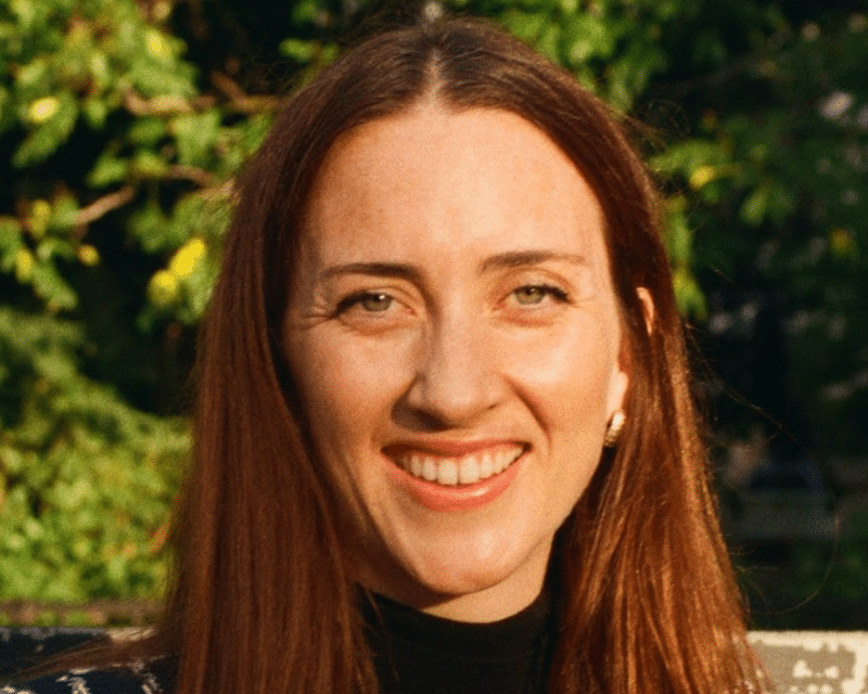
My Writing Life: Alice Loxton
“I feel the most satisfaction when I meet readers who have been to historical locations because of reading my books.”…
Let the games begin: what it’s like to write the Commonwealth Games Opening Ceremony
From crafting storylines to writing key scenes and drafting lyrics, Maeve Clarke on the role of the writer in an…
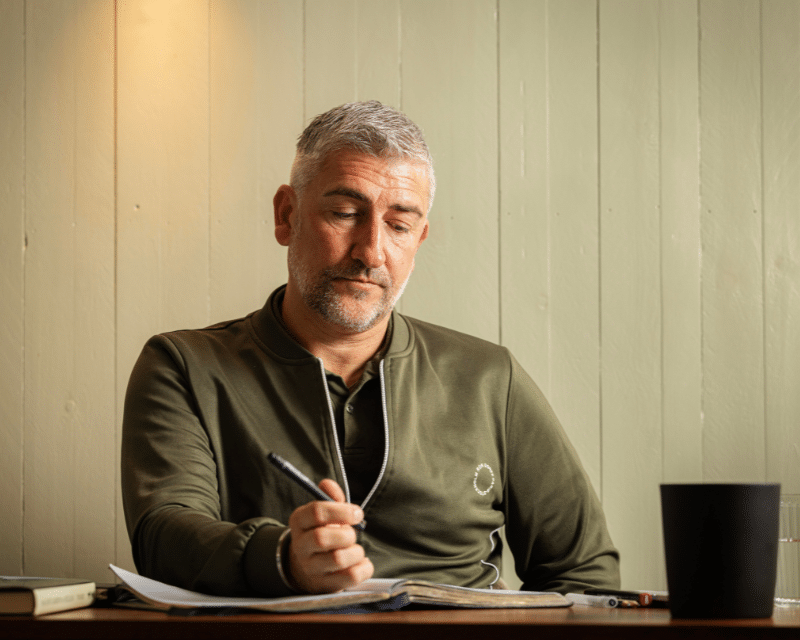
My Writing Life: Manni Coe
“When making big life choices in your writing career, trust the still small voice of your own intuition.” – Manni…