- Collected
- Article
Mapping Stories
Cartographic insights
- 16 November, 2020
- Bernie McGill
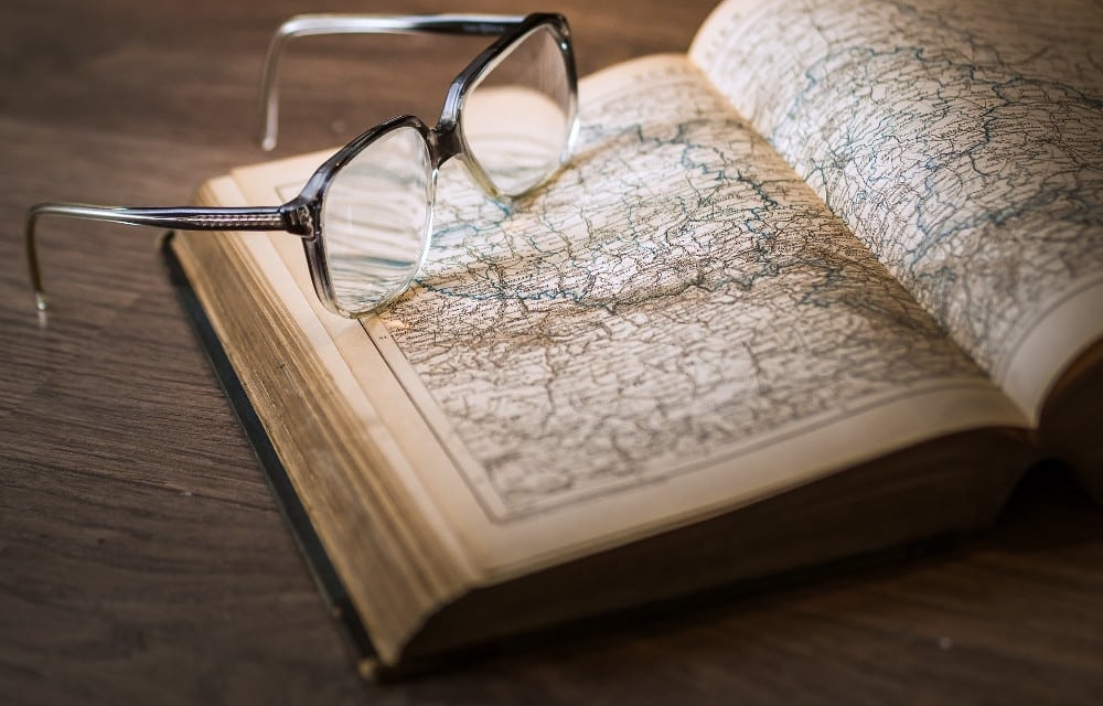
I often use maps when I’m writing about a particular place. I enjoy that interaction of the written word with a stylised illustration; the idea that the document I’m viewing is a two-dimensional, miniaturised and coded representation of an actual place. In truth, I am not all that good at following them: spatial awareness has never been my forte. So it is not so much the utility of the document that fascinates me, but the promise of what it holds: entry to another world, if only you had the wherewithal to decipher the key to unlock it. To follow a map is an act of translation; in some ways, it’s an act of faith. This symbol indicates where you will find a seat of learning, this one a place of worship, here a standing stone, there a souterrain. For a writer of historical fiction, it can also feel like an act of excavation.
A little while ago I discovered that digitised versions of a number of historical maps, as well as the current Ordnance Survey map of Northern Ireland (OSNI) have been made available online from the Public Records Office in Belfast (PRONI). The first-edition Ordnance Survey (OS) map dates from 1832 to 1846. There’s a transparency filter on the PRONI maps viewer that means that when you layer one map on top of another, you can gradually ‘vanish’ the one uppermost to reveal what’s underneath, thus tracing the changes that have occurred over the years. So, for example, you could locate a natural feature on the first-edition map and then ‘look through’ the top layer to see if it is still evident on the contemporary aerial edition. In the same way, it is possible to peel back the layers of the decades to reveal a less populated landscape of wooded areas, earthen works, reservoirs, gravel pits. It’s almost magical; a transformative experience, and wholly addictive. I could spend hours doing this.
Click anywhere on any of the OSNI maps and a pop-up text box will indicate the name of the townland on which you have landed, as well as the name of the civil parish and of the barony. When the engineers of the Ordnance Survey (OS) mapped Ireland they sometimes anglicised, sometimes translated, sometimes renamed the places. Which brings me to my second and most recent obsession — the Northern Ireland Place-Name Project at Queen’s University, Belfast, found at placenamesni.org. Here you can trace the placenames back to Irish, to Scots, to Old English, even to French and Old Norse. So, for example, the townland in which I was brought up, Mayogall (also written Moyagall) would originally have been written Maigh Ó gColla in Irish, translated as ‘plain of the (O’)Cullys’. Ballynease, where my mother was born, would originally have been written Baile Naosa, translated as ‘Naos’s townland’. Placenames carry stories, of the people who lived there, of the natural landscape, often of the events that occurred.
When I was small, I can remember going to a place we called ‘Arthur Henry’s Fort’. You won’t find the name on a map. It was located in the neighbouring townland of Gulladuff (Guala Dhubh, ‘the black-hill shoulder’) and was within walking distance, across the fields, from our home. I was very young at the time, but it was clear to me that this was a destination of some importance, and in my imagination, we were going to find a walled and moated castle. What I remember is a disappointing ring of trees on a mound of grass, not a drawbridge or a turret in sight. When I look now at the digitised map of 1832, and trace a route back using the contemporary map from where our house was eventually built in the nineteen-fifties, I can see the word ‘Fort’ next to the symbol for a mound, and looking through to the current aerial image, a distinctive circular ring of trees is still evident there. A blue dot on the digitised PRONI maps indicates a site of archaeological significance. A click on the arrow in the pop-up reveals further information, that this is the site of a ‘counterscarp rath’, dating to the early Christian period. The data includes a number for the Sites and Monuments records (SMRNo); a visit to that website reveals a typed record from 1995. Appended to the record is an excerpt from the OS memoirs dating back to the eighteen-thirties that states: ‘There is also a fort of earth on Henry Magee’s farm’ under which has been written ‘May refer to this site’. What I suspect is that the name of the place as we were using it had been recorded in oral history. Was Henry Magee’s first name Arthur? Did he have a descendant named Arthur Henry Magee? To find that out would lead me down one of those long and winding research roads and, for now at least, I’m resisting the urge, but to see the word ‘Fort’ written on the historical map gives me a degree of satisfaction. It reinforces my memory, as well as the power of the oral tradition and the importance of retaining the names of places. It makes me feel like I was handed a word for a place that goes back almost two hundred years or more.
When I was researching my last book, The Watch House, and investigating the placenames of Rathlin Island, I found that whole histories were embedded in the placenames there. Crockascreidlin as it is named on the OS map is said to be from Cnoc na Scriodlain meaning ‘the hill of the screaming’, so-called because of the screams of the women that were heard from there while the slaughter took place in Lag an Bhriste Mhóir (the hollow of the great defeat) during the Campbell War of 1642. The place where they say the island women and children were subsequently driven off the cliffs is recorded on the map as Sloaknacalliagh, from Sloc na cailleach meaning ‘the chasm of the women’. It is unsurprising that such violent events should leave their mark on the places in which they occurred, albeit in a modified form, over three hundred and fifty years later.
These are dark stories and are well documented by a number of different sources, but there is only one source in which I found the story of Moo-der-a-vool-tshin on Rathlin. Folklorist Michael J. Murphy’s book Rathlin: Island of Blood and Enchantment, was first published in 1987 and contains material collected from islanders in 1953 and 1954. He records a story told to him by one interviewee regarding the Campbell massacre. Duncan Campbell, a cousin of the temporary Governor of Rathlin, the Marquis of Argyle, was sent there with 1600 soldiers with the intention of using the island as a base to put down the native Irish rebellion. Campbell left his wife and child on the island and the Rathlin people got it into their heads that the family members had brought plague. The islanders killed Campbell’s wife and buried the child alive with her in a bog. According to the interviewee, it was Campbell’s fury at the outrage committed against his family that incited the massacre of the islanders. The story goes that to this day, nothing will grow in the place where the mother and child are buried. Moo-der-a-vool-tshin, as Murphy records it, is a phonetic rendering of the incident in English. I hadn’t been able to find the earlier spelling, but my daughter’s friend, Annie Jowett, is a Toponymic Masters student who works on the Place-Name Project and I asked her recently if she could shed any light on the meaning of the phrase. Many interpretations are, of course, possible and Annie offered a few, but the version that chimes with the islander’s account is this likely hybrid between Scots and Irish: Mooder a bhuailt sinn translating into English as ‘murder that impacted us’. That seems a somewhat understated way to describe such catastrophic events, although it does, perhaps, betray an understandable reluctance on behalf of the islanders to dwell on them.
Writers often advise would-be novelists to write first and research afterwards. That way, you only research that part of the story that you’re certain is going to last the pace: you don’t waste time on information that may, eventually, be edited out of the book. This is sound advice but it is not advice that I have ever given or followed. For me, the research enriches the writing: the nonfictional reading works hand in hand with the construction of the story. Yes, those digressions and apparent dead ends can sometimes feel time-wasting and unproductive, but I believe that all those paths you follow feed in to the story in unconscious ways. Who knows if you would have settled on that particular word if you hadn’t read that extract from the OS Memoirs? Who knows if your fictional character would have behaved in quite that way, if you didn’t know the meaning of the place from which they came, if you hadn’t tracked the route of their journey across the map of the time? The reading evokes atmosphere, creates a layering effect, maybe partly due to the fact that it takes more time to write the story. That’s more time for thinking, for composting. I’ll never give up on reading the histories of places, on poring over maps.
You might also like:
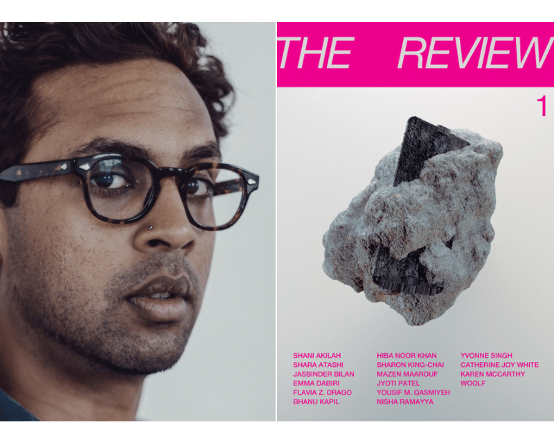
WritersMosaic & Jhalak launch The Review today
The first issue of The Review by WritersMosaic & Jhalak is out today. The Review is an editorially independent, 20-page…
No facts, only versions
Memoirs are as much about what is excluded as what is included. This edition examines how you can evoke the…
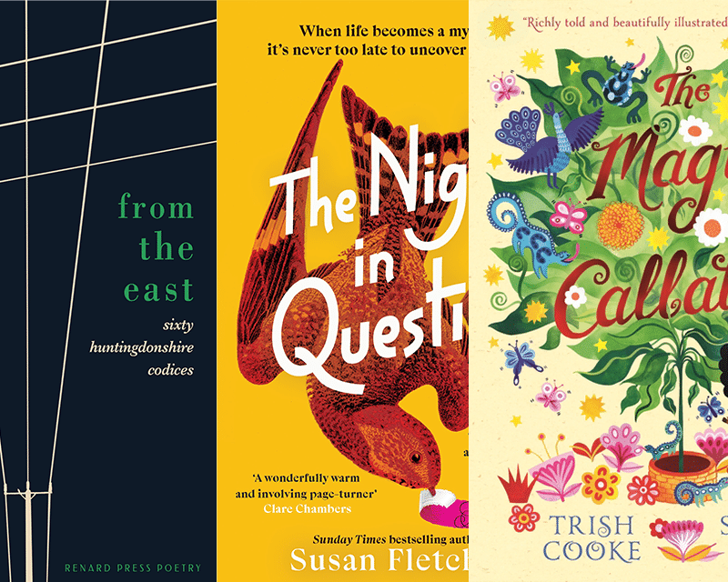
RLF Fellows’ News: April 2024
Publishing News RLF Fellow Trish Cooke’s new children’s book, The Magic Callaloo, is set to be published by Walker Books…